Mon - Sat 10:00 am - 6:00 pm | Sunday - Closed

GIS-Based Master Planning, Mapping & Surveys

GIS-Based Planning & Smart Mapping Solutions
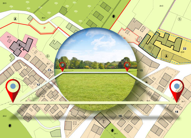
We provide GIS-driven planning solutions that bring clarity, accuracy, and insight to every project. Our geospatial expertise helps in understanding terrain, analysing land use, and making informed, data-backed decisions for infrastructure and development planning.
Using advanced mapping tools, satellite imagery, and spatial data analytics, we prepare high-precision GIS models that support master planning, urban development, and infrastructure optimisation. Our GIS outputs enhance project transparency, improve decision-making, and streamline implementation.
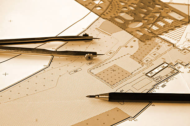
High-Precision GIS Survey & Spatial Data Analysis
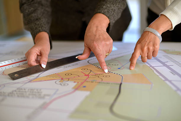
C and E Consultancy Pvt. Ltd. Our GIS survey services include spatial mapping, topographic analysis, navigation networks, and asset management for both urban and rural areas. We ensure every map is accurate, geo-referenced, and aligned with real-world coordinates for maximum reliability.
We build interactive maps, 3D terrain models, and digital layers that support future-ready infrastructure development. These detailed GIS datasets empower engineers, planners, and decision-makers to work efficiently and confidently.
-
High-Precision Spatial Mapping
-
Land Use & Terrain Analysis
-
Digital Maps & 3D Planning Models
-
GIS-Based Asset Management Tools
-
Smart, Future-Ready Master Planning
What GIS services do you provide?
We offer spatial mapping, land use classification, digital elevation models, network planning, asset mapping, and geospatial analytics for planning and infrastructure.
Do you prepare GIS-based digital planning models?
Yes. We prepare interactive maps, 3D terrain models, zoning plans, digital master plans, and thematic spatial layers using advanced GIS tools.
How do GIS solutions help in project planning?
GIS improves accuracy, reduces errors, supports data-driven decision-making, increases transparency, and ensures smarter project implementation from start to finish.
